
Millennia before the Manhattan Project put Hanford on the map, our future community was underwater for many years. The eastern half of what would one day be Washington State was in the midst of a transformative period. The landscape was being reshaped and reforged in an Ice Age.
Background
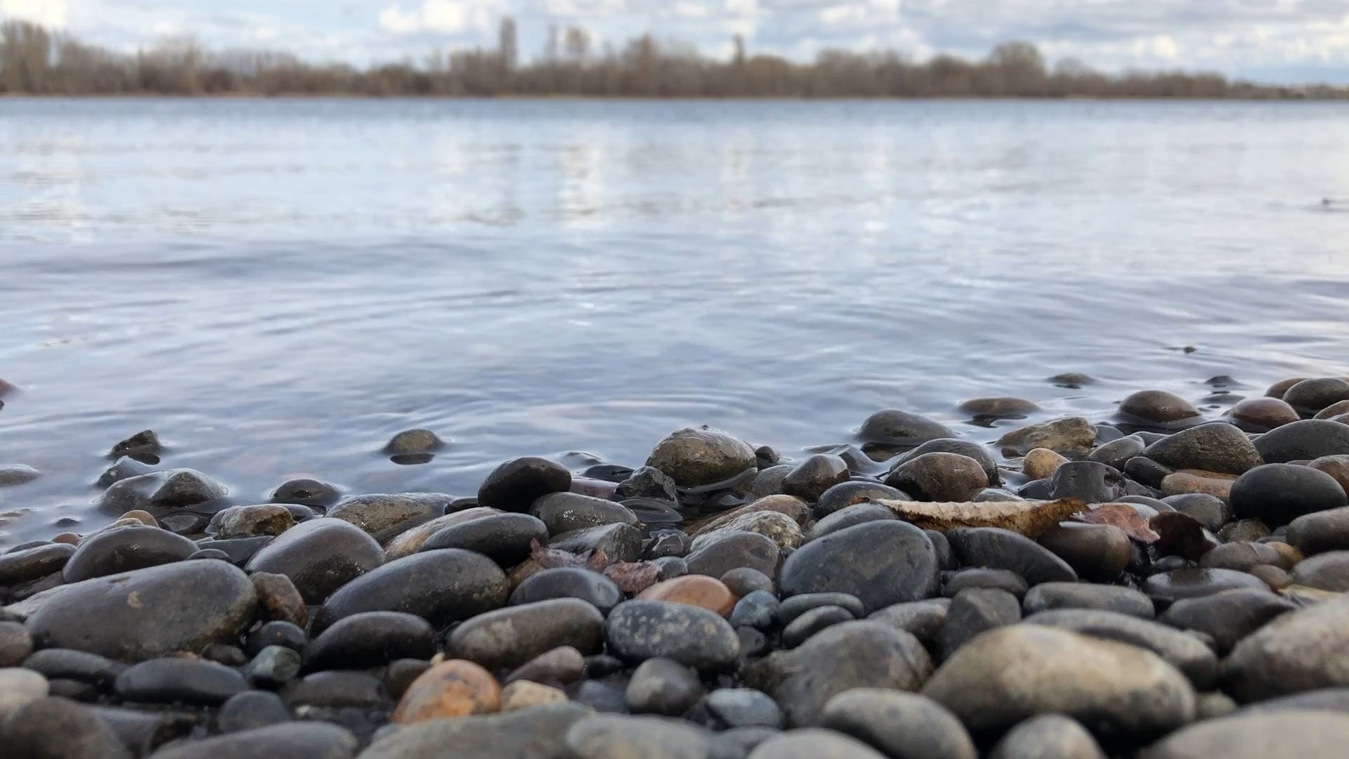
When prehistoric Lake Missoula began to discharge its waters, tremendous volumes drained across the Columbia Basin. These waters flooded the entire region, raising the sea level as they went. This process created many of the coulees that helped channel the waters long distances over downhill slopes. These coulees are still prominent in our region today, a notable geographical/ geological feature of the Columbia Basin. This vast runoff of water formed a sprawling inland lake, which we now refer to as Lake Lewis.
As the huge body of water settled, pressure began to build in vulnerable areas as layers of rock eroded away. Eventually, the waters burst through what is now Wallula Gap, draining the lake slowly through a bottleneck. This impressive and historical gap is still visible southeast of the Tri-Cities and can be seen from the trail at Twin Sisters. We covered the trail in greater detail here on Windermere Current, and you can check it out here.
Remnants of the Lake
Though often easily overlooked today, there are still many remnants of Lake Lewis’s presence throughout the Tri-City area. When ascending Badger Mountain, hikers will notice a marker near the top which indicates the maximum water level that Lake Lewis reached (approximately 1,200 feet above sea level). This truly puts the awesome scale of the lake into perspective, allowing you to gaze out over the cities and up the valleys where tremendous walls of water once flowed. The summits of Badger, Candy, and Rattlesnake Mountains became islands in their own rights, offering some of the only dry land around.
Glacial erratics – large rocks carried and deposited outside of their natural region by glacial flow – can found all throughout the region… if you keep your eyes open! The Horse Heaven Hills are dotted with large rocks, stranded on lonely hillsides of open, rolling wheat fields.
Runoff
Classified as a temporary lake, Lewis saw several periods of fluctuation wherein the water level drastically rose or fell before eventually draining entirely. It flooded into the nearby Yakima, Touchet, Toucannon, and Walla Walla River Valleys, emptying into the neighboring lowlands and leaving dry the land that was once at the bed of this great lake.
The landscape of our region was forever changed by the Missoula Floods and the presence of Lake Lewis. It altered the very geography of the region, forming all that we are so used to today. There are a few wonderful exhibits covering Lake Lewis in detail in the local favorite REACH Museum. We discussed the museum in-depth in a previous blog post, which you can read further into here. Eastern Washington is an extremely unique part of the country. The more we know about its history, the better we can understand it today.


1 thought on “Historic Lake Lewis”