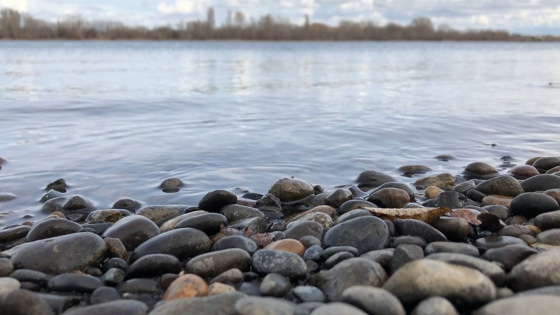

Over the decades, Richland’s city planners have created a pedestrian friendly, neighborhood walking path along the waterfront of the Columbia River. The path system runs the length of the river’s eastern boundary and is a product of engineering plans set forth in the 1950’s and 60’s.
From the Columbia Point under the Richland-Pasco bridge to the USS Triton Park at the Port of Benton, seven miles of paved walkways and bike trails await your visit. What’s interesting about this park system is its diversity; it was clearly thought-out, and it shows. The Columbia River is a treasure that offers aesthetic beauty, recreation, fishing, and irrigation for Richland’s residents to enjoy.
Outdoor Dining
At the base of the Richland-Pasco bridge is a park with several playgrounds for kids and a large marina. Here, there are four excellent restaurants that offer outdoor dining. Lulu’s, Anthony’s, Budd’s, and Drumheller’s offer drinks, appetizers, and dinners along with a waterfront view. We covered a few of these restaurants in our article, “Patio Dining in Phase 1.5”. In the park system’s design, planners clearly kept citizen access as a key concept. None of the trail system privately owned; it belongs to the public!
Howard Amon
As you move along the river to the north, the trail will take you through Howard Amon Park. It’s home to Richland’s Community Center and offers illuminated tennis courts (no fee), a wading pool, and a concession stand. New apartments are currently under construction which will overlook this local-favorite spot. In the summer, river boats from Portland stop overnight and allow their passengers to disembark into Richland.
Heading north, you will come upon a dam that was built in 1948. Flood waters had threatened the area, leading to the construction of “The Miracle Mile”. It’s a relatively small dam that took its name because it was built very quickly and with cooperation of many arms of government. It is a mile-long and about 12’ tall, along the riverbanks. As you drop back down, closer to the water level, there’s a parking lot, bathroom facilities, and access to a trail that is still in a natural state for bird watching, walking or horseback riding. At this point there are two trails, the upper for bikes and the lower for pedestrians.
Still further north you will find new volleyball courts with perfect sand for the sport. Near the courts, the grass drops down to the riverbanks where a sandy beach awaits the best place for swimming along the river. There is an island off this part of the park that keeps the swimming area shallow for recreation. This is the perfect place to learn to paddleboard, as the water is usually still and calm. Again, picnic shelters, restrooms, water access, and pathways are neat, clean and welcoming.
Leslie Groves
About a half of a mile further north you will find Leslie Groves, a portion of the park system that offers soccer fields, more tennis courts, another boat launch and plenty of green fields for frisbee, more tennis courts, a basketball court, another boat launch, and access to town via Saint or Snyder.
Another short stretch of path takes you through a natural area to Ferry Landing where you need to take to Harris for a short transfer to the “end of the road” by WSU Tri-Cities. Here, the path continues along the university to the Port of Benton and the Triton submarine.
At each and every stop, the city has kept these parks connected. Richland’s park system flows along the eastern edge of the city and the Columbia River. The city planning that it must have taken to keep the accessibility public is admirable, and we owe them the credit of recognition. They’ve created a beautiful public utility that has become a centerpiece of Richland.

