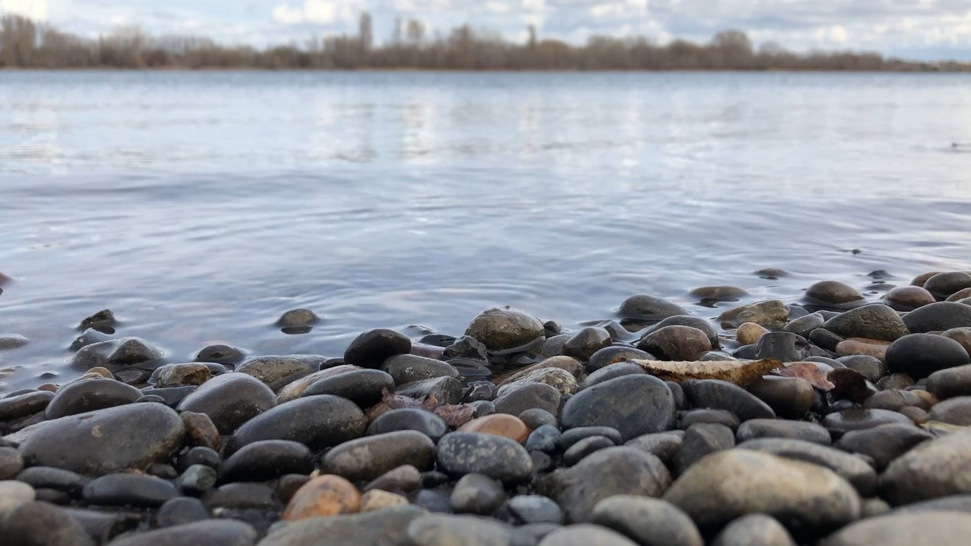
The Tri-Cities is located in one of the lowest-elevation regions of the Pacific Northwest. The Pasco Airport is located at approximately 387 feet and the entire Pasco basin – with the exclusion of our surrounding ridges – represents the bottom of what was the ancient Lake Lewis (a topic we’ve covered in its own dedicated article). This is the location where the floodwaters from the ice ages had drained into a basin. As you may realize, Lake Lewis eventually drained through what is now known as Wallula Gap (Highway 12 that branches to Highway 730). The Columbia River now flows all the way to the Pacific Ocean, forming our state’s natural border with Oregon. The elevation of Portland International Airport (PDX) is approximately 59 feet above sea level.
It’s all Uphill from Here!
So, if you’re planning to travel out of the Tri-Cities, you’re going to have to go over mountain passes, unless you go down river through the Wallula Gap. If you start clockwise and decide to travel to the west-southwest, you must traverse through Satus Pass on Highway 97. On the way, you would skirt the Yakima Indian Reservation and may wish to stop to see historic Fort Simcoe. When you reach the top of the pass (3,107 ft) you cross a broad, forested area with views of Mt. Hood, Mt. Adams, Mt. Rainier. Proceed through the small farming community of Goldendale and drop into the Gorge where you can cross into the beautiful city of Hood River.
White Pass + Chinook Pass
If you choose a destination that is more to the Northwest, you have two passes cojoined: White Pass (4,501 feet) to the south and Chinook Pass (elevation 5430 feet). White Pass has a notable ski area at its summit, something we’ve also covered in its own dedicated article. Or you can branch to the north shortly after leaving Yakima and take Chinook Pass, which leads you to Mt. Rainier National Park, with a staggering view at its summit. Lake Tipsoo, one of the most photographed lakes in the Cascades, can be found here. This pass is closed during winter months, so with spring upon us, now is the perfect time to visit.
Snoqualmie
Traveling further north, the next pass would be Snoqualmie, the main east-west route through the Cascades. It’s among the busiest interstates in the northwest, with a lot of commercial vehicles and its own ski resort. The elevation of this pass is about 3600 feet, which is the same elevation as our Rattlesnake Mountain. This pass leads a traveler down into the greater Seattle area to the west. There are frequent closures with winter storms, so be sure to plan your travel accordingly.
North Cascades
The longest transit from the Tri-Cities, but a must do adventure, is the North Cascades Pass (5477 feet). It is the northernmost mountain pass in the state and may require lodging for travelers. The town of Winthrop is usually a nice overnight stop as you travel the North Cascades Scenic Highway. This pass uses Highway 20 and is rarely (if ever) open during the winter due to extreme weather conditions. This pass empties out to the beautiful west slopes of the northern Seattle area and Puget Sound, not far from the Canadian border.
Conclusion
In almost every direction you could choose to travel from the Tri-Cities, you will have to cross through a mountain pass. These areas are immensely beautiful and awesome in scope, so be sure to stop and enjoy the scenery when passing through. These passes define our region and have long since made up an important part of our identity. Whatever you do, don’t miss out on your chance to view these spectacles of nature!


Great article. I have lived here for 31 years and have only gone over the Snoqualmie Pass, although I have gone to the summit of White Pass. Looks like I need to venture out more. Retirement here I come.