
Recently, we took a look at some easy hikes on the Columbia River. With summer upon us, weather has been warming up significantly and restrictions from COVID-19 are easing up. This is the perfect combination for us to get back out into the world and start exploring again. However, if the easy hikes we covered aren’t quite up to your speed, we’ve got something else for you. If you are willing to challenge and push yourself in order to discover a truly magnificent gem of the northwest, Dog Mountain is the perfect hike for you.
Location
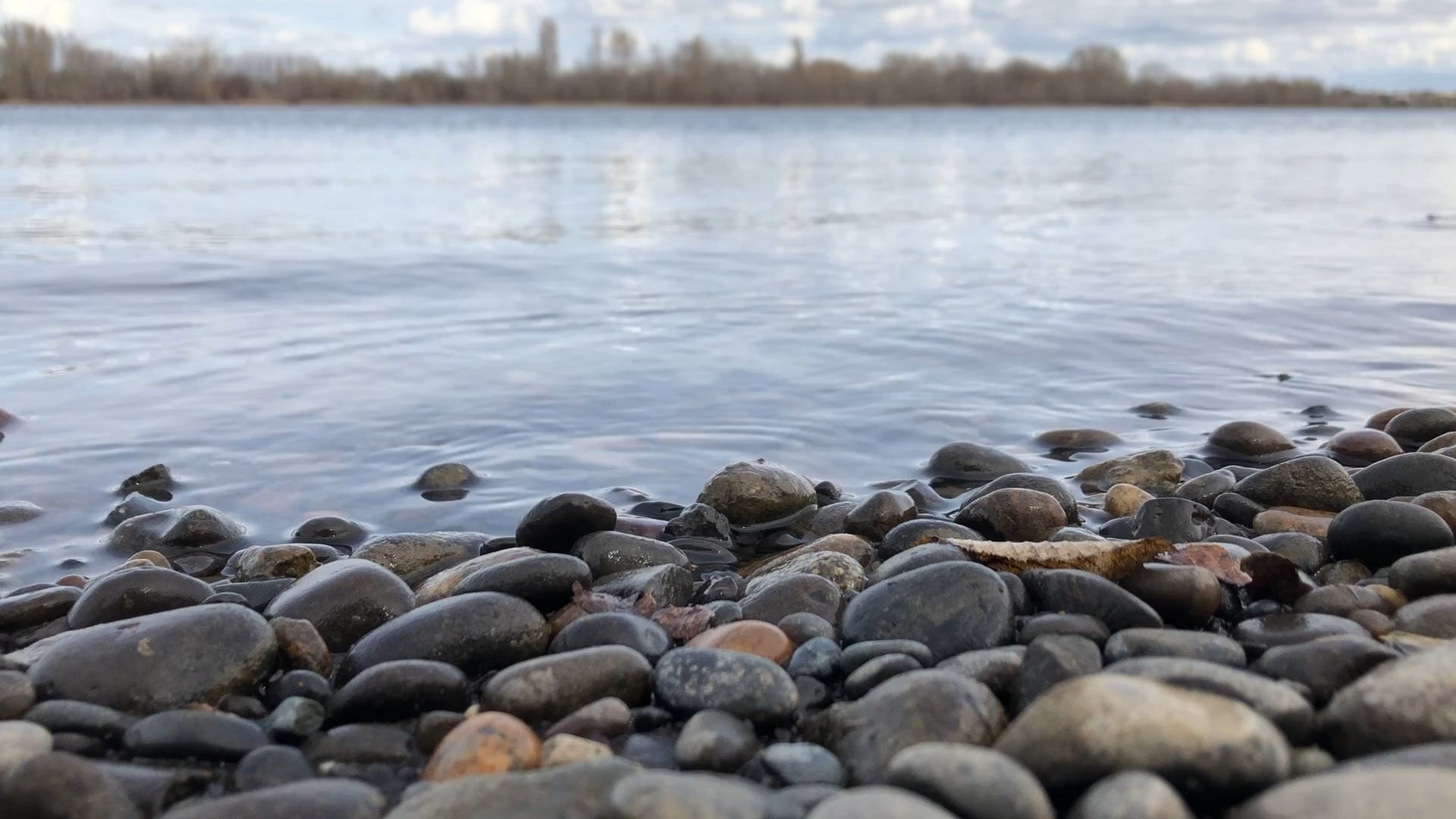
This (in)famous hike takes form at an unassuming trailhead on the north side of the Columbia River Gorge, on the side of Route 14 half way between Hood River and Cascade Locks. The fastest route to get to the trailhead would be to travel south out of the Tri-Cities on Interstate 82, cross into Oregon, and head west on Interstate 84 toward Portland. Turn off in Hood River and cross back to the Washington side, then continue west and you’ll see signs for the mountain on your right (north) as you parallel the Columbia.
Alternate Route
If you have plenty of time on your hands to make the trip, we highly recommend taking an alternate route which will lead you through the historic town of Bickleton. We covered the town recently in its own article, detailing the history and highlights of the area. For this route, you’ll want to head west out of the Tri-Cities on I-82 until you get to Prosser. Turn off the interstate and continue westbound on Route 22 to the town of Mabton. From there, follow signs south/southwest towards Bickleton, and enjoy the scenic drive while keeping your eyes out for birdhouses along the way! This is the perfect spot to rest and enjoy a picnic before continuing west to Goldendale, then south and west again after connecting with Route 14 on the Columbia River.
The Trail
Once you reach the trailhead, it’s time for some mental preparation! Hopefully you’ve brought with you the essentials for a challenging hike: compass, maps, layers, snacks, and LOTS of water! With an elevation gain of nearly 3,000 feet over six miles of steep trails, you’ll soon find out why the trail is lovingly nicknamed “Doggone Mountain.” On your ascent, you’ll come to a point where the trail splits in two. A posted sign will label either direction as “difficult” and “more difficult.” In our experience, the path labeled simply “difficult” was more than enough of a challenge.
The Summit
If you can manage to punish yourself enough to reach the summit however, you will be rewarded with one of the most spectacular views in the Pacific Northwest. The Columbia River sprawls out underneath you as far as the eye can see, carving its way through fir-covered mountains on either side. Mt. Hood and Mt. St. Helens are visible on clear days, and the sheer scale of the region comes into vivid clarity. Alpine flowers flourish where the trees cannot grow, and you’ll easily find a picturesque backdrop to stop and enjoy your accomplishment. Now all that remains is the matter of the descent…